The current schedule will be presented in the member’s newsletter.
Camping Singles next meetings are:
August 11, 2026 2pm at Panera Bread, 2466 S. Colorado Blvd. (new date)
September will be held at a private group campout.
Come Join us!
December 13, 2026. Holiday Party.
Go to Evite to sign up and find directions.
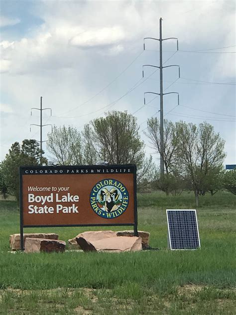
May 11-15 Boyd Lake State Park
Boyd Lake State Park is a water-recreation haven in northern Colorado. The lake lies at the western most edge of the plains, by the foot of snow-capped Long’s Peak and the mountains of the Continental Divide. The park attracts visitors who enjoy boating, camping, water skiing, swimming, fishing, paddlesports, picnicking, bicycling, walking, hunting and wildlife viewing. There is a dump station just outside the actual campground.
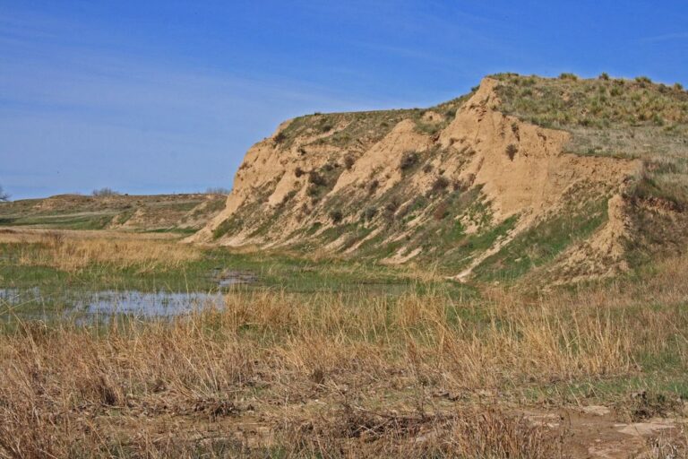
Beecher Island is located in Wray and is a dispersed campout.Beecher Island is a sandbar located along the lower course of the Arikaree River, a tributary of the North Fork of the Republican River near Wray in Yuma County, Colorado. The site is notable for having been the scene of an 1868 armed conflict between elements of the United States Army and several of the Plains Indian tribes. The island was named for Lt. Fredrick Henry Beecher of the 3rd Infantry, one of the soldiers of the engagement who was killed during what became known as the Battle of Beecher Island.
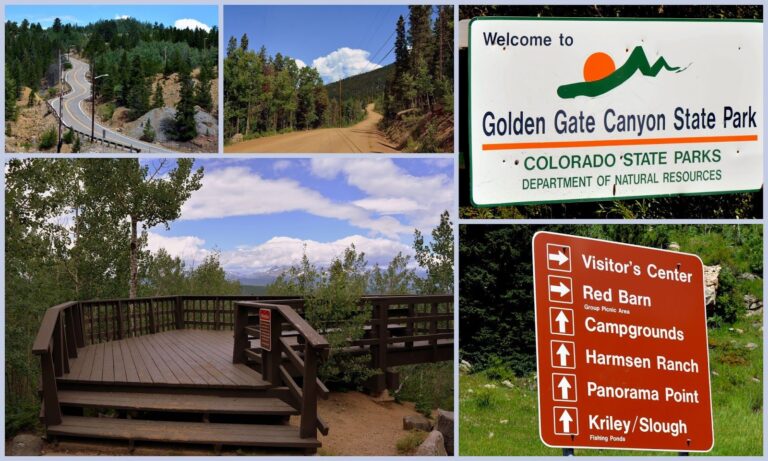
More than 12,000 acres of dense forest, rocky peaks, and aspen-rimmed meadows laced with miles of trails awaiting the hiker, horseback rider, mountain biker and winter sports enthusiast at Golden Gate State Park. There is NO cell or internet service in the Golden Gate Canyon State Park area. Emergency call boxes are located at the Visitor Center and Reverend’s Ridge Campground office. During the summer months there are 59 sites with electrical hook-ups that accommodate RV’s/campers, vehicles, rooftop tents and ground tents. In addition, there are 38 tent only sites -NO RV’s/campers are allowed in the tent only sites.
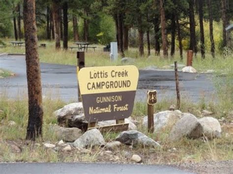
Lottis Creek campground is a scenic campground with 50 sites (38 electrical) along the creek and near the Taylor River. Outdoor recreation includes fishing, hiking, backpacking, mountain biking, ATVing, kayaking and wildlife viewing.
Bluegrass music echoes across the Wet Mountain Valley in the heart of the Rocky Mountains on the edge of Westcliffe, Colorado at the annual High Mountain Hay Fever Bluegrass Festival.
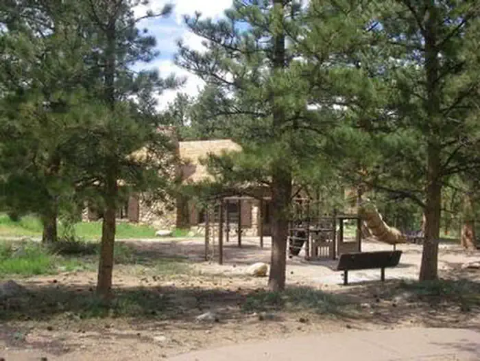
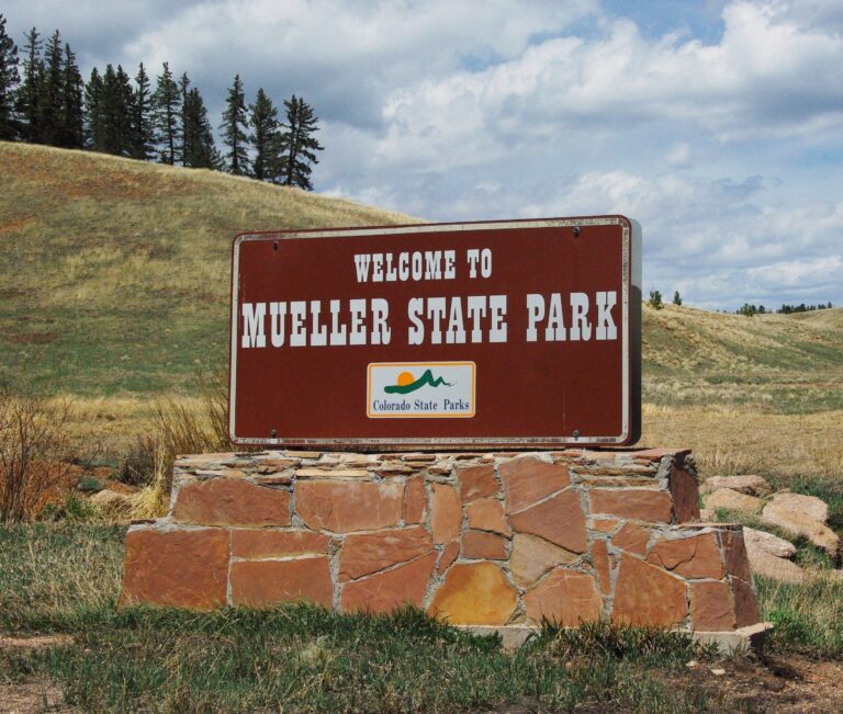
Visitors to Mueller State Park can explore over 5,117 acres featuring spring-fed meadows, diverse forests and impressive Pikes Peak granite formations. The landscape ranges from dense conifer and aspen forests to rolling grasslands with striking rock outcroppings. Shaped by ancient geological forces, such as the uplift of Pikes Peak and volcanic action, the park offers year-round outdoor activities like camping, hiking, wildlife viewing, and winter pursuits like snowshoeing and cross-country skiing.
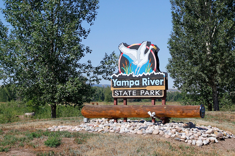
Yampa River SP is located in the beautiful Yampa valley west of Steamboat Springs, is near Elkhead reservoir State Park, Stagecoach State Park, Dinosaur National Monument and Routt National Forest. Explore all your options and make the most of your trip.
Arapahoe Bay campground is located in the Arapaho National Recreation Area on Lake Granby, southeast of Grand Lake. Visitors enjoy the area for its great fishing and hiking opportunities.
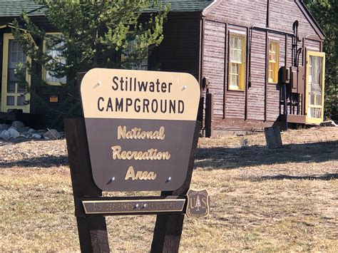
Stillwater is a large campground on the norther shore of Lake Granby, offering boating, fishing and hiking opportunities. It has 129 sites, 21 with electricity. There are flush toilets, showers, drinking water and a dump station.
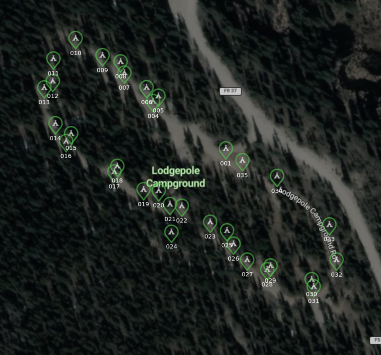
Lodgepole Campground is located 4 miles north of Jefferson, Colo., off County Road 35 and County Road 37. It has 34 campsites with parking spurs 20-40 feet and a maximum trailer length of 30 feet. At an elevation of 9,900 feet, facilities include toilets, tables, water, trash and fire rings. Other activities around the area are Jefferson Lake, Como, which is a mining town about 5 miles away and Fairplay. Dates are weather dependent. All services may not be available early or late in the season.
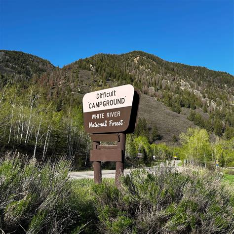
Difficult campgroud is located just 5 miles from Aspen. Enjoy camping on the banks of the Roaring Fork River in a mixed forest of aspen, pine and spruce. The campground has 47 standard sites and offers recreation and relaxation opportunities in the Rocky Mountains. There is an excellent Art Museum in town with free admission.